23Oct
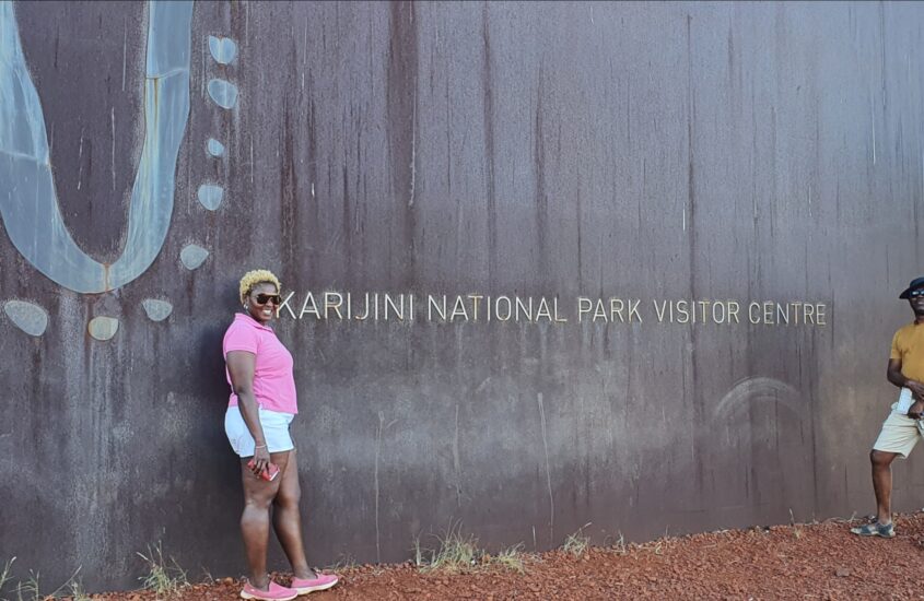
“Unbelievable” In Minthukundi
The names here. Minthukundi, Karijini, sounds African and there could well be a good connection between the aborigines of Australia and our African ancestors.
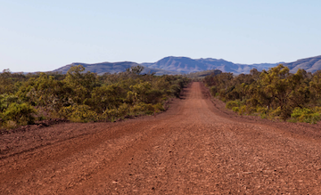
The journey from Auski Village brought us fully round the Karijini park, visiting some very beautiful and well preserved natural formations. Looking at the rocks, layers upon layers, it needs no telling that Earth has endured for generations before us.